Footpath across a crop field by Claverley, Shropshire
Introduction
The photograph on this page of Footpath across a crop field by Claverley, Shropshire by Roger D Kidd as part of the Geograph project.
The Geograph project started in 2005 with the aim of publishing, organising and preserving representative images for every square kilometre of Great Britain, Ireland and the Isle of Man.

There are currently over 7.5m images from over 14,400 individuals and you can help contribute to the project by visiting https://www.geograph.org.uk
Footpath across a crop field by Claverley, Shropshire
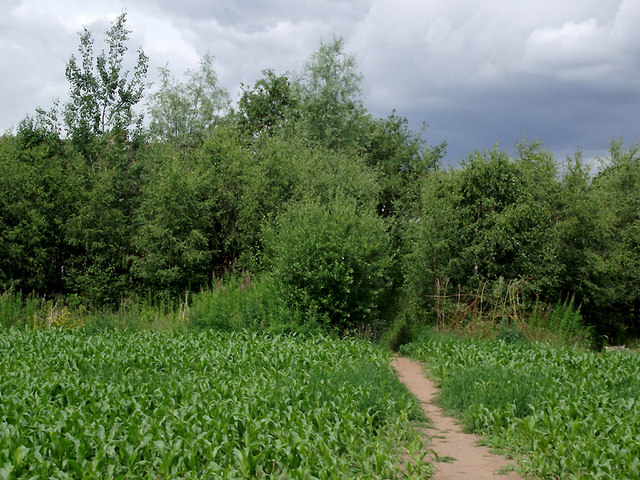
Image: © Roger D Kidd Taken: 24 Jun 2011
Maize is growing in this field at the edge of Claverley village. Here the footpath is approaching the housing and tennis courts by Church Street.
Images are licensed for reuse under creativecommons.org/licenses/by-sa/2.0
Image Location
Latitude
52.539063
Longitude
-2.305346