Valley Road: where the railway once crossed
Introduction
The photograph on this page of Valley Road: where the railway once crossed by John Sutton as part of the Geograph project.
The Geograph project started in 2005 with the aim of publishing, organising and preserving representative images for every square kilometre of Great Britain, Ireland and the Isle of Man.

There are currently over 7.5m images from over 14,400 individuals and you can help contribute to the project by visiting https://www.geograph.org.uk
Valley Road: where the railway once crossed
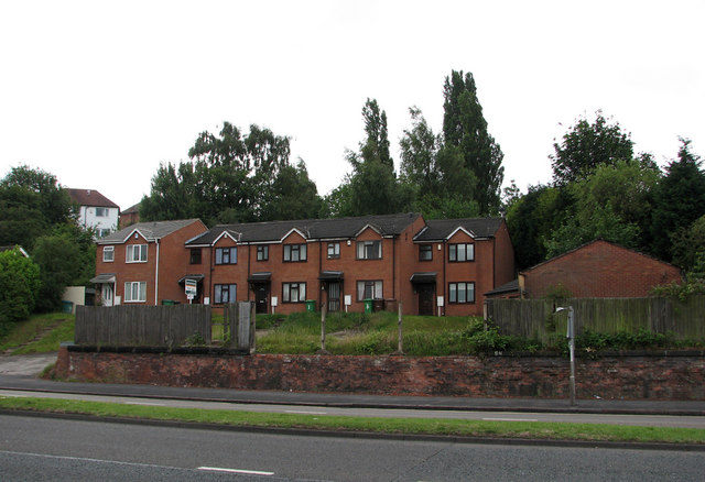
Image: © John Sutton Taken: 21 Jun 2011
The low brick wall on the other side of the road is all that remains of the south abutment supporting a huge plate girder bridge which carried the Great Central main line from Nottingham Victoria to Sheffield 40ft above the road. That bridge, replacing the original simple brick arch, was built in the late 1930s, when Valley Road was widened and became the northern part of the ring road. The houses opposite are built where the embankment has been removed; the trees above them are growing where the sandstone railway cutting shown in my Image] once was. For more about the railway network in these parts, see Image], Image], Image], Image] and others.
Images are licensed for reuse under creativecommons.org/licenses/by-sa/2.0
Image Location
Latitude
52.984405
Longitude
-1.169107