West Lodge to Guyzance House
Introduction
The photograph on this page of West Lodge to Guyzance House by Oliver Dixon as part of the Geograph project.
The Geograph project started in 2005 with the aim of publishing, organising and preserving representative images for every square kilometre of Great Britain, Ireland and the Isle of Man.

There are currently over 7.5m images from over 14,400 individuals and you can help contribute to the project by visiting https://www.geograph.org.uk
West Lodge to Guyzance House
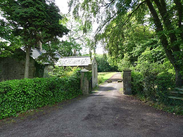
Image: © Oliver Dixon Taken: 24 Jun 2011
In the last year, (see Image), this drive to Guyzance House has been blocked off to motor traffic by two large boulders.
Images are licensed for reuse under creativecommons.org/licenses/by-sa/2.0
Image Location
Latitude
55.328617
Longitude
-1.66788