Billingshurst Road (A272) in 1991
Introduction
The photograph on this page of Billingshurst Road (A272) in 1991 by John Baker as part of the Geograph project.
The Geograph project started in 2005 with the aim of publishing, organising and preserving representative images for every square kilometre of Great Britain, Ireland and the Isle of Man.

There are currently over 7.5m images from over 14,400 individuals and you can help contribute to the project by visiting https://www.geograph.org.uk
Billingshurst Road (A272) in 1991
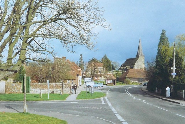
Image: © John Baker Taken: 7 Apr 1991
Taken from its junction with Durbans Road - the upper road sign points towards "Toilets" while the lower, towards Kirdford and Loxwood. The church is that of St Peter ad Vincula.
Images are licensed for reuse under creativecommons.org/licenses/by-sa/2.0
Image Location
Latitude
51.02289
Longitude
-0.503987