Former Hall, Burras Lane
Introduction
The photograph on this page of Former Hall, Burras Lane by Mark Anderson as part of the Geograph project.
The Geograph project started in 2005 with the aim of publishing, organising and preserving representative images for every square kilometre of Great Britain, Ireland and the Isle of Man.

There are currently over 7.5m images from over 14,400 individuals and you can help contribute to the project by visiting https://www.geograph.org.uk
Former Hall, Burras Lane
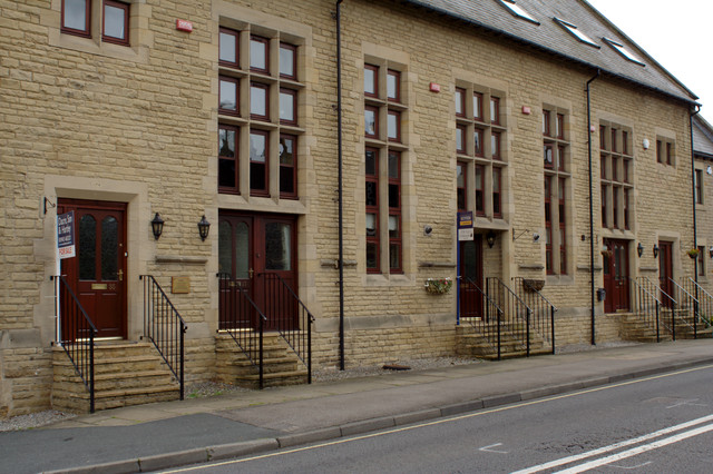
Image: © Mark Anderson Taken: 25 Jun 2011
This hall has been converted to houses. There used to be a cut bench mark 4m from the far end of the building, but it appears to have been destroyed to make way for the doorway of number 43. Bench Mark Database: http://www.bench-marks.org.uk/bm38390
Images are licensed for reuse under creativecommons.org/licenses/by-sa/2.0
Image Location
Latitude
53.903479
Longitude
-1.696324