A track across Dartford Heath
Introduction
The photograph on this page of A track across Dartford Heath by Marathon as part of the Geograph project.
The Geograph project started in 2005 with the aim of publishing, organising and preserving representative images for every square kilometre of Great Britain, Ireland and the Isle of Man.

There are currently over 7.5m images from over 14,400 individuals and you can help contribute to the project by visiting https://www.geograph.org.uk
A track across Dartford Heath
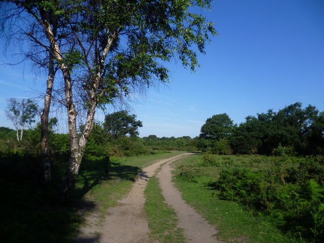
Image: © Marathon Taken: 24 Jun 2011
The eastern half of Dartford Heath is much more open and heath like than the western half, which is more wooded. This track leads from Heath Close Road towards the roundabout at the junction of Shepherds Lane, Old Bexley Lane and Rochester Way.
Images are licensed for reuse under creativecommons.org/licenses/by-sa/2.0
Image Location
Latitude
51.437895
Longitude
0.18837