Bus stops and shelters, Lower New Inn, Pontypool
Introduction
The photograph on this page of Bus stops and shelters, Lower New Inn, Pontypool by Jaggery as part of the Geograph project.
The Geograph project started in 2005 with the aim of publishing, organising and preserving representative images for every square kilometre of Great Britain, Ireland and the Isle of Man.

There are currently over 7.5m images from over 14,400 individuals and you can help contribute to the project by visiting https://www.geograph.org.uk
Bus stops and shelters, Lower New Inn, Pontypool
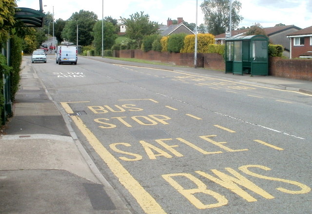
Image: © Jaggery Taken: 23 Jun 2011
The view north along Newport Road, looking towards the junction with Church Lane, Jerusalem Lane and The Highway. Several bus services use this route.
Images are licensed for reuse under creativecommons.org/licenses/by-sa/2.0
Image Location
Latitude
51.68454
Longitude
-3.006704