Village Pond, Stone
Introduction
The photograph on this page of Village Pond, Stone by Rob Farrow as part of the Geograph project.
The Geograph project started in 2005 with the aim of publishing, organising and preserving representative images for every square kilometre of Great Britain, Ireland and the Isle of Man.

There are currently over 7.5m images from over 14,400 individuals and you can help contribute to the project by visiting https://www.geograph.org.uk
Village Pond, Stone
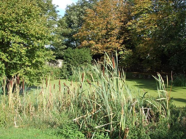
Image: © Rob Farrow Taken: 24 Sep 2006
Opposite Image] is this duckweed covered pond with reed-mace (often incorrectly referred to as bulrushes) much in evidence in the foreground. The pond lies in the angle created between the Bishopstone and Oxford Roads.
Images are licensed for reuse under creativecommons.org/licenses/by-sa/2.0
Image Location
Latitude
51.803869
Longitude
-0.865816