Afon Lwyd upstream, Pont-y-felin Road, Pontypool
Introduction
The photograph on this page of Afon Lwyd upstream, Pont-y-felin Road, Pontypool by Jaggery as part of the Geograph project.
The Geograph project started in 2005 with the aim of publishing, organising and preserving representative images for every square kilometre of Great Britain, Ireland and the Isle of Man.

There are currently over 7.5m images from over 14,400 individuals and you can help contribute to the project by visiting https://www.geograph.org.uk
Afon Lwyd upstream, Pont-y-felin Road, Pontypool
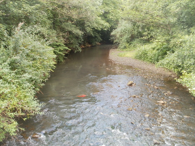
Image: © Jaggery Taken: 23 Jun 2011
The Afon Lwyd flows towards a footbridge http://www.geograph.org.uk/photo/2475103 connecting Pont-y-felin Road with a track to Lower New Inn.
Images are licensed for reuse under creativecommons.org/licenses/by-sa/2.0
Image Location
Latitude
51.684478
Longitude
-3.013935