Westlington
Introduction
The photograph on this page of Westlington by Rob Farrow as part of the Geograph project.
The Geograph project started in 2005 with the aim of publishing, organising and preserving representative images for every square kilometre of Great Britain, Ireland and the Isle of Man.

There are currently over 7.5m images from over 14,400 individuals and you can help contribute to the project by visiting https://www.geograph.org.uk
Westlington
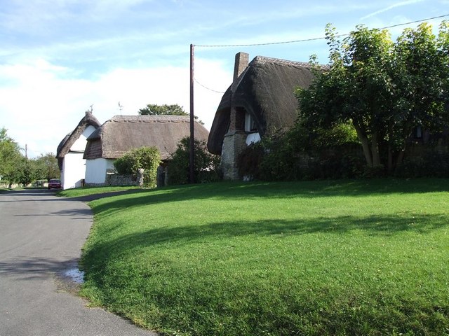
Image: © Rob Farrow Taken: 24 Sep 2006
On the 1940s OS map Westlington is given almost as much prominence as Dinton, but now it seems that the former has become an adjunct to the latter, with the cottages here being on Westlington Green, Dinton.
Images are licensed for reuse under creativecommons.org/licenses/by-sa/2.0
Image Location
Latitude
51.787079
Longitude
-0.896683