The New Clarence
Introduction
The photograph on this page of The New Clarence by David Wright as part of the Geograph project.
The Geograph project started in 2005 with the aim of publishing, organising and preserving representative images for every square kilometre of Great Britain, Ireland and the Isle of Man.

There are currently over 7.5m images from over 14,400 individuals and you can help contribute to the project by visiting https://www.geograph.org.uk
The New Clarence
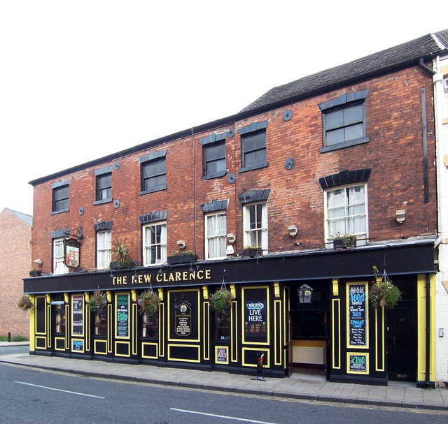
Image: © David Wright Taken: 24 Sep 2006
The old Clarence originally stood on the opposite side of Charles Street to the current pub, a site now occupied by flats, and is depicted on the Inn sign. The New Clarence is a conversion of the old Co-op building on the corner of Charles and John Streets.
Images are licensed for reuse under creativecommons.org/licenses/by-sa/2.0
Image Location
Latitude
53.74768
Longitude
-0.340992