Garston Lane School
Introduction
The photograph on this page of Garston Lane School by Bill Nicholls as part of the Geograph project.
The Geograph project started in 2005 with the aim of publishing, organising and preserving representative images for every square kilometre of Great Britain, Ireland and the Isle of Man.

There are currently over 7.5m images from over 14,400 individuals and you can help contribute to the project by visiting https://www.geograph.org.uk
Garston Lane School
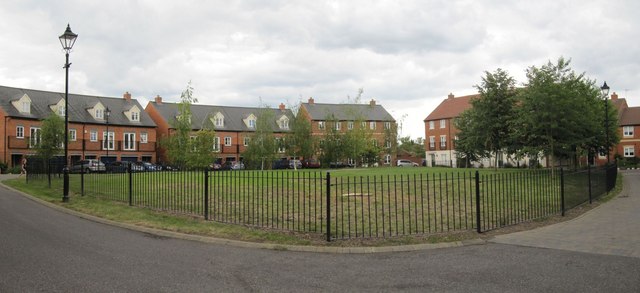
Image: © Bill Nicholls Taken: 11 Jun 2011
At least that is what used to be here, all that is left now is the green which may have been the playing fields.
Images are licensed for reuse under creativecommons.org/licenses/by-sa/2.0
Image Location
Latitude
51.589796
Longitude
-1.423434