Former Thruxton Methodist Chapel
Introduction
The photograph on this page of Former Thruxton Methodist Chapel by Michael FORD as part of the Geograph project.
The Geograph project started in 2005 with the aim of publishing, organising and preserving representative images for every square kilometre of Great Britain, Ireland and the Isle of Man.

There are currently over 7.5m images from over 14,400 individuals and you can help contribute to the project by visiting https://www.geograph.org.uk
Former Thruxton Methodist Chapel
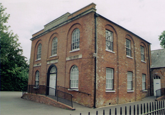
Image: © Michael FORD Taken: Unknown
Grade 2 listed building erected in 1817 but now used as the Village Hall since 1945.
Images are licensed for reuse under creativecommons.org/licenses/by-sa/2.0
Image Location
Latitude
51.208867
Longitude
-1.583665