Upperton Road
Introduction
The photograph on this page of Upperton Road by Oast House Archive as part of the Geograph project.
The Geograph project started in 2005 with the aim of publishing, organising and preserving representative images for every square kilometre of Great Britain, Ireland and the Isle of Man.

There are currently over 7.5m images from over 14,400 individuals and you can help contribute to the project by visiting https://www.geograph.org.uk
Upperton Road
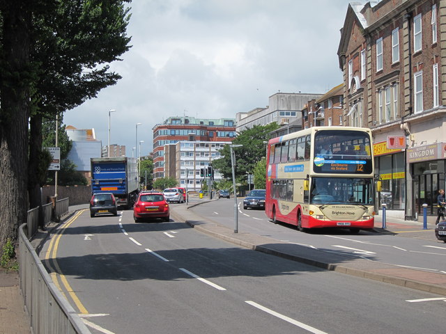
Image: © Oast House Archive Taken: 23 Jun 2011
Dual carriageways leading away from the town centre.
Images are licensed for reuse under creativecommons.org/licenses/by-sa/2.0
Image Location
Latitude
50.769842
Longitude
0.278589