Houses at the SE edge of residential New Inn, Pontypool
Introduction
The photograph on this page of Houses at the SE edge of residential New Inn, Pontypool by Jaggery as part of the Geograph project.
The Geograph project started in 2005 with the aim of publishing, organising and preserving representative images for every square kilometre of Great Britain, Ireland and the Isle of Man.

There are currently over 7.5m images from over 14,400 individuals and you can help contribute to the project by visiting https://www.geograph.org.uk
Houses at the SE edge of residential New Inn, Pontypool
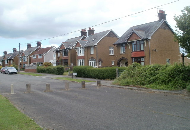
Image: © Jaggery Taken: 23 Jun 2011
These Newport Road houses are adjacent to the New Inn boundary. From here south to Cwmbran is mostly agricultural land, with a few houses here and there.
Images are licensed for reuse under creativecommons.org/licenses/by-sa/2.0
Image Location
Latitude
51.682742
Longitude
-3.006664