Crooked Oak Farm
Introduction
The photograph on this page of Crooked Oak Farm by Robert Graham as part of the Geograph project.
The Geograph project started in 2005 with the aim of publishing, organising and preserving representative images for every square kilometre of Great Britain, Ireland and the Isle of Man.

There are currently over 7.5m images from over 14,400 individuals and you can help contribute to the project by visiting https://www.geograph.org.uk
Crooked Oak Farm
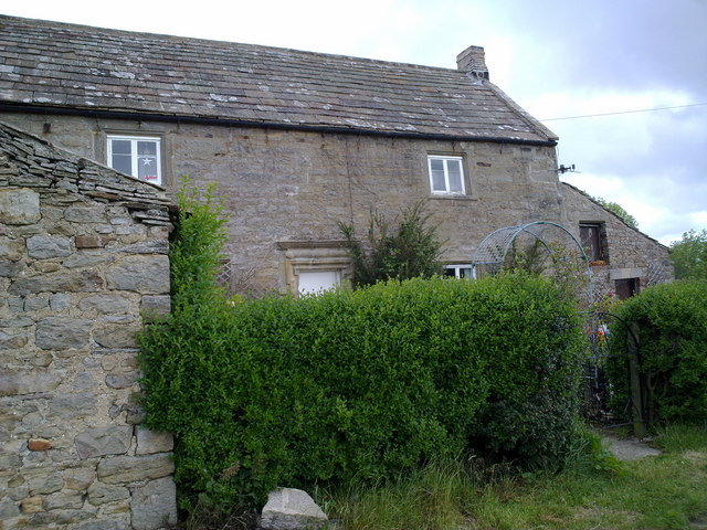
Image: © Robert Graham Taken: 9 Jun 2011
View of the farmhouse. This is a very old farm - the date 1684 can be made out on the lintel above the door along with the initials of the owners.
Images are licensed for reuse under creativecommons.org/licenses/by-sa/2.0
Image Location
Latitude
54.842536
Longitude
-1.916351