Bridle Path near Camestown
Introduction
The photograph on this page of Bridle Path near Camestown by Nigel Mykura as part of the Geograph project.
The Geograph project started in 2005 with the aim of publishing, organising and preserving representative images for every square kilometre of Great Britain, Ireland and the Isle of Man.

There are currently over 7.5m images from over 14,400 individuals and you can help contribute to the project by visiting https://www.geograph.org.uk
Bridle Path near Camestown
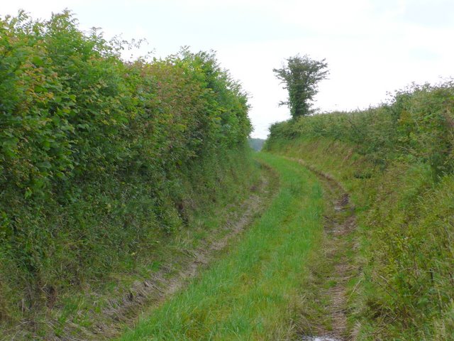
Image: © Nigel Mykura Taken: 18 Jun 2011
This path, which is a narrow green lane, runs north over the hill behind Camesworth and down into the valley of the Brit at Oxbridge.
Images are licensed for reuse under creativecommons.org/licenses/by-sa/2.0
Image Location
Latitude
50.771518
Longitude
-2.7361