Skyline near Cheddleton, Staffordshire
Introduction
The photograph on this page of Skyline near Cheddleton, Staffordshire by Roger D Kidd as part of the Geograph project.
The Geograph project started in 2005 with the aim of publishing, organising and preserving representative images for every square kilometre of Great Britain, Ireland and the Isle of Man.

There are currently over 7.5m images from over 14,400 individuals and you can help contribute to the project by visiting https://www.geograph.org.uk
Skyline near Cheddleton, Staffordshire
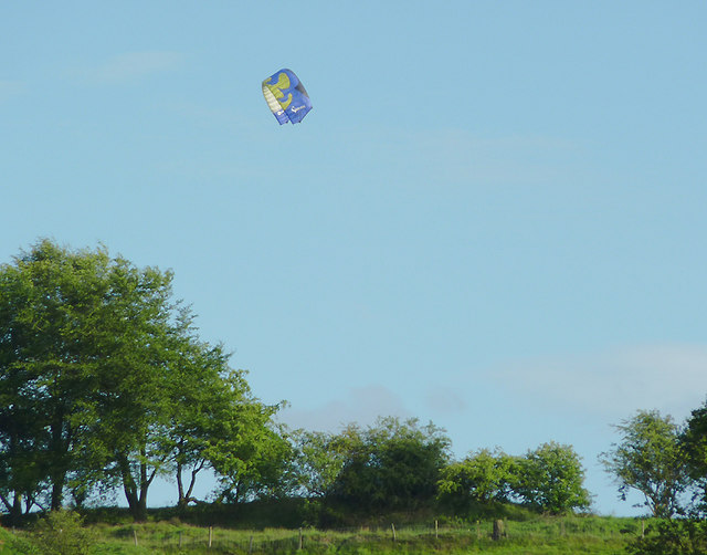
Image: © Roger D Kidd Taken: 27 May 2011
This is part of the skyline of the hillside south-south-east of Cheddleton Top Lock on the Caldon Canal, from where the image was obtained using telephoto assistance. The kite flyer was making an excellent job of making it soar and swoop and hover.
Images are licensed for reuse under creativecommons.org/licenses/by-sa/2.0
Image Location
Latitude
53.06689
Longitude
-2.039312