2011 : On Coxgrove Hill, near the top
Introduction
The photograph on this page of 2011 : On Coxgrove Hill, near the top by Maurice Pullin as part of the Geograph project.
The Geograph project started in 2005 with the aim of publishing, organising and preserving representative images for every square kilometre of Great Britain, Ireland and the Isle of Man.

There are currently over 7.5m images from over 14,400 individuals and you can help contribute to the project by visiting https://www.geograph.org.uk
2011 : On Coxgrove Hill, near the top
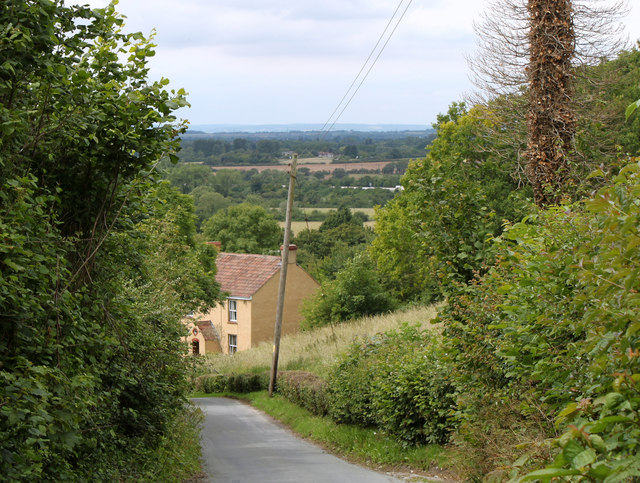
Image: © Maurice Pullin Taken: 20 Jun 2011
Looking north west down the hill over South Gloucestershire. An area riddled with disused coal mines, though it would take a sharp eye to find one here. The M4 is (thankfully) only just to be seen about half way up the frame followed by Winterbourne. The hills faintly seen in the blue yonder are on the other side of the Bristol Channel.
Images are licensed for reuse under creativecommons.org/licenses/by-sa/2.0
Image Location


Leaflet Map data © OpenStreetMap
Latitude
51.493041
Longitude
-2.454686