Sign on the Leicester city boundary
Introduction
The photograph on this page of Sign on the Leicester city boundary by Stephen Sweeney as part of the Geograph project.
The Geograph project started in 2005 with the aim of publishing, organising and preserving representative images for every square kilometre of Great Britain, Ireland and the Isle of Man.

There are currently over 7.5m images from over 14,400 individuals and you can help contribute to the project by visiting https://www.geograph.org.uk
Sign on the Leicester city boundary
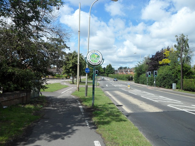
Image: © Stephen Sweeney Taken: 19 Jun 2011
Entering the city from Thurnby to the east.
Images are licensed for reuse under creativecommons.org/licenses/by-sa/2.0
Image Location
Latitude
52.631884
Longitude
-1.056412