Field near Witherdon
Introduction
The photograph on this page of Field near Witherdon by Derek Harper as part of the Geograph project.
The Geograph project started in 2005 with the aim of publishing, organising and preserving representative images for every square kilometre of Great Britain, Ireland and the Isle of Man.

There are currently over 7.5m images from over 14,400 individuals and you can help contribute to the project by visiting https://www.geograph.org.uk
Field near Witherdon
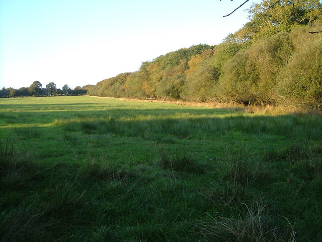
Image: © Derek Harper Taken: 23 Sep 2006
The boundary of the wood on the right follows a small stream destined to enter Roadford Reservoir. From the lane between Lugworthy Cross and Boldventure Cross.
Images are licensed for reuse under creativecommons.org/licenses/by-sa/2.0
Image Location
Latitude
50.738049
Longitude
-4.215004