North of Harwell
Introduction
The photograph on this page of North of Harwell by Des Blenkinsopp as part of the Geograph project.
The Geograph project started in 2005 with the aim of publishing, organising and preserving representative images for every square kilometre of Great Britain, Ireland and the Isle of Man.

There are currently over 7.5m images from over 14,400 individuals and you can help contribute to the project by visiting https://www.geograph.org.uk
North of Harwell
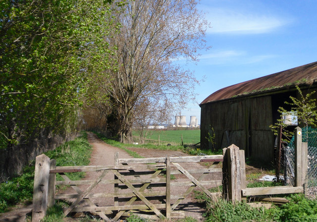
Image: © Des Blenkinsopp Taken: 6 Apr 2011
This well surfaced track heads north from Harwell. Part of the Grove Farm estate, the track is lined by tall trees planted as windbreaks when this was all orchards. Didcot power station on the horizon.
Images are licensed for reuse under creativecommons.org/licenses/by-sa/2.0
Image Location
Latitude
51.6048
Longitude
-1.289968