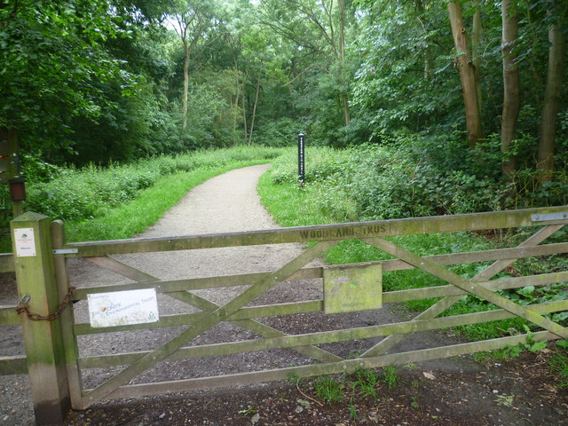
Summerhouse Drive entrance to Joyden's Wood
Introduction
The photograph on this page of Summerhouse Drive entrance to Joyden's Wood by Marathon as part of the Geograph project.
The Geograph project started in 2005 with the aim of publishing, organising and preserving representative images for every square kilometre of Great Britain, Ireland and the Isle of Man.
There are currently over 7.5m images from over 14,400 individuals and you can help contribute to the project by visiting https://www.geograph.org.uk

Image: © Marathon Taken: 21 Jun 2011
The post in the distance marks the Faesten Dic Trail. Faesten Dic is a dyke which is thought to have been constructed between the fifth and sixth centuries AD. The Anglo-Saxon Chronicle records tribal warfare in the Bexley area at the time. The waymarked trail shown here from the Summerhouse Drive entrance to Joyden's Wood follows the dyke.

