Upton Heath, site of fire
Introduction
The photograph on this page of Upton Heath, site of fire by Mike Faherty as part of the Geograph project.
The Geograph project started in 2005 with the aim of publishing, organising and preserving representative images for every square kilometre of Great Britain, Ireland and the Isle of Man.

There are currently over 7.5m images from over 14,400 individuals and you can help contribute to the project by visiting https://www.geograph.org.uk
Upton Heath, site of fire
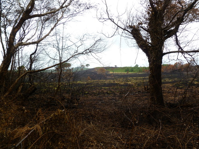
Image: © Mike Faherty Taken: 22 Jun 2011
The eastern edge of Upton Heath. A large area of heathland was devastated after an arson attach two weeks ago: http://www.bbc.co.uk/news/uk-england-dorset-13738315
Images are licensed for reuse under creativecommons.org/licenses/by-sa/2.0
Image Location
Latitude
50.753068
Longitude
-2.012281