Red Scrip
Introduction
The photograph on this page of Red Scrip by Richard Webb as part of the Geograph project.
The Geograph project started in 2005 with the aim of publishing, organising and preserving representative images for every square kilometre of Great Britain, Ireland and the Isle of Man.

There are currently over 7.5m images from over 14,400 individuals and you can help contribute to the project by visiting https://www.geograph.org.uk
Red Scrip
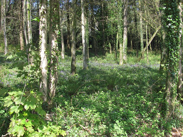
Image: © Richard Webb Taken: 20 Apr 2011
Woodland on the steep edge of the East Devon Plateau. This is an uphill view from the A30 during the lovely descent to Yarcombe.
Images are licensed for reuse under creativecommons.org/licenses/by-sa/2.0
Image Location
Latitude
50.866859
Longitude
-3.089879