Leyland Avenue
Introduction
The photograph on this page of Leyland Avenue by Richard Webb as part of the Geograph project.
The Geograph project started in 2005 with the aim of publishing, organising and preserving representative images for every square kilometre of Great Britain, Ireland and the Isle of Man.

There are currently over 7.5m images from over 14,400 individuals and you can help contribute to the project by visiting https://www.geograph.org.uk
Leyland Avenue
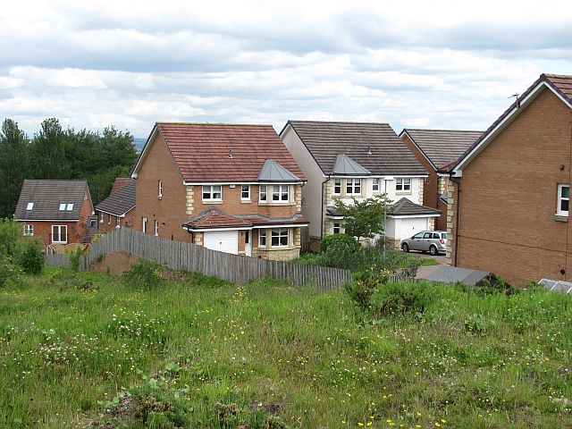
Image: © Richard Webb Taken: 20 Jun 2011
New houses on the Torheads Farm site. The land in the foreground will also be built upon eventually. At this time (2011) house building is beginning to resume after a long period of inactivity following the failure of many banks in 2008. It is still extremely difficult to finance a property purchase with large deposits being normal.
Images are licensed for reuse under creativecommons.org/licenses/by-sa/2.0
Image Location
Latitude
55.757509
Longitude
-4.068507