Annington Road, Botolphs
Introduction
The photograph on this page of Annington Road, Botolphs by Tim Heaton as part of the Geograph project.
The Geograph project started in 2005 with the aim of publishing, organising and preserving representative images for every square kilometre of Great Britain, Ireland and the Isle of Man.

There are currently over 7.5m images from over 14,400 individuals and you can help contribute to the project by visiting https://www.geograph.org.uk
Annington Road, Botolphs
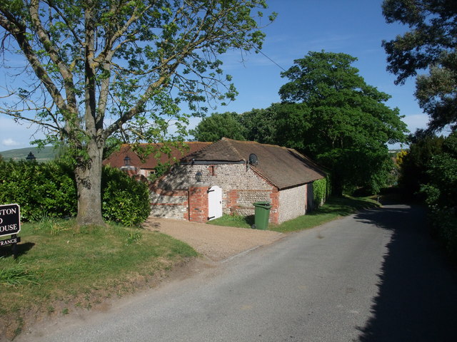
Image: © Tim Heaton Taken: 10 May 2011
A thriving village in the Middle Ages, with navigable river connection to the sea. Now a small village of mainly large houses strung out along a single road.
Images are licensed for reuse under creativecommons.org/licenses/by-sa/2.0
Image Location
Latitude
50.872801
Longitude
-0.312941