Arable land, East Devon Plateau
Introduction
The photograph on this page of Arable land, East Devon Plateau by Richard Webb as part of the Geograph project.
The Geograph project started in 2005 with the aim of publishing, organising and preserving representative images for every square kilometre of Great Britain, Ireland and the Isle of Man.

There are currently over 7.5m images from over 14,400 individuals and you can help contribute to the project by visiting https://www.geograph.org.uk
Arable land, East Devon Plateau
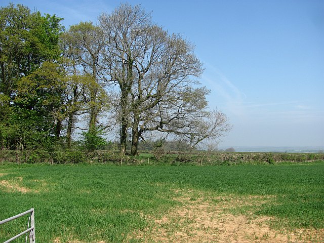
Image: © Richard Webb Taken: 20 Apr 2011
High but cultivated ground by Devonshire Inn.
Images are licensed for reuse under creativecommons.org/licenses/by-sa/2.0
Image Location
Latitude
50.863359
Longitude
-3.10827