Cycle Route 7 at Dumbuck
Introduction
The photograph on this page of Cycle Route 7 at Dumbuck by Lairich Rig as part of the Geograph project.
The Geograph project started in 2005 with the aim of publishing, organising and preserving representative images for every square kilometre of Great Britain, Ireland and the Isle of Man.

There are currently over 7.5m images from over 14,400 individuals and you can help contribute to the project by visiting https://www.geograph.org.uk
Cycle Route 7 at Dumbuck
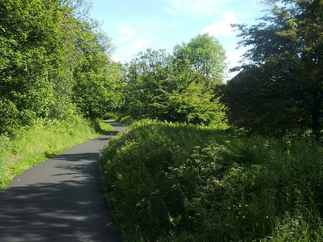
Image: © Lairich Rig Taken: 10 Jun 2011
This section of the cycle path begins at the junction of Image (see that item for more details) and Image The unseen A82 is just to the left, behind a wall and some trees; the silhouette of a building can be made out on the right; it is one of the Image that are located in this area.
Images are licensed for reuse under creativecommons.org/licenses/by-sa/2.0
Image Location
Latitude
55.939893
Longitude
-4.537487