Playing field. Glangrwyney, Powys
Introduction
The photograph on this page of Playing field. Glangrwyney, Powys by Jaggery as part of the Geograph project.
The Geograph project started in 2005 with the aim of publishing, organising and preserving representative images for every square kilometre of Great Britain, Ireland and the Isle of Man.

There are currently over 7.5m images from over 14,400 individuals and you can help contribute to the project by visiting https://www.geograph.org.uk
Playing field. Glangrwyney, Powys
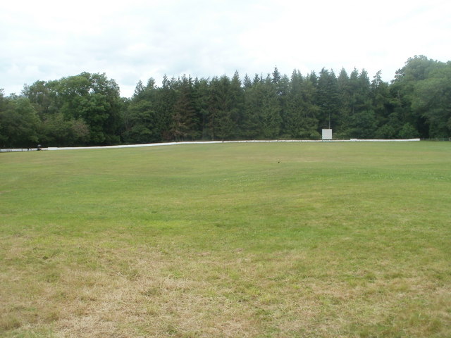
Image: © Jaggery Taken: 19 Jun 2011
The field occupies a roughly rectangular site, about 150 metres by 130 metres, on the north side of the A40 in the hamlet of Glangrwyney.
Images are licensed for reuse under creativecommons.org/licenses/by-sa/2.0
Image Location
Latitude
51.840997
Longitude
-3.105992