Caledffrwd Terrace, Clwt y Bont
Introduction
The photograph on this page of Caledffrwd Terrace, Clwt y Bont by Eric Jones as part of the Geograph project.
The Geograph project started in 2005 with the aim of publishing, organising and preserving representative images for every square kilometre of Great Britain, Ireland and the Isle of Man.

There are currently over 7.5m images from over 14,400 individuals and you can help contribute to the project by visiting https://www.geograph.org.uk
Caledffrwd Terrace, Clwt y Bont
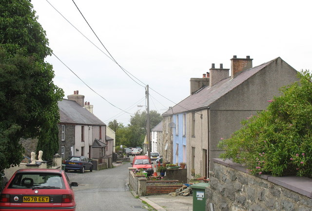
Image: © Eric Jones Taken: 21 Sep 2006
Clwt y Bont was far less a planned village than Deiniolen.
Images are licensed for reuse under creativecommons.org/licenses/by-sa/2.0
Image Location
Latitude
53.144132
Longitude
-4.131999