Suburban Glevum
Introduction
The photograph on this page of Suburban Glevum by Richard Webb as part of the Geograph project.
The Geograph project started in 2005 with the aim of publishing, organising and preserving representative images for every square kilometre of Great Britain, Ireland and the Isle of Man.

There are currently over 7.5m images from over 14,400 individuals and you can help contribute to the project by visiting https://www.geograph.org.uk
Suburban Glevum
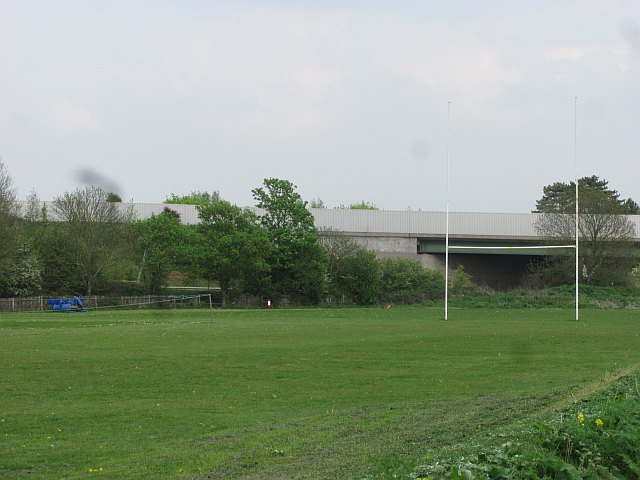
Image: © Richard Webb Taken: 21 Apr 2011
Playing field beside the sprawling junction 11a on the M5. This is the site of a Roman villa.
Images are licensed for reuse under creativecommons.org/licenses/by-sa/2.0
Image Location
Latitude
51.8564
Longitude
-2.180433