Churchfield Road, Ealing
Introduction
The photograph on this page of Churchfield Road, Ealing by David Smith as part of the Geograph project.
The Geograph project started in 2005 with the aim of publishing, organising and preserving representative images for every square kilometre of Great Britain, Ireland and the Isle of Man.

There are currently over 7.5m images from over 14,400 individuals and you can help contribute to the project by visiting https://www.geograph.org.uk
Churchfield Road, Ealing
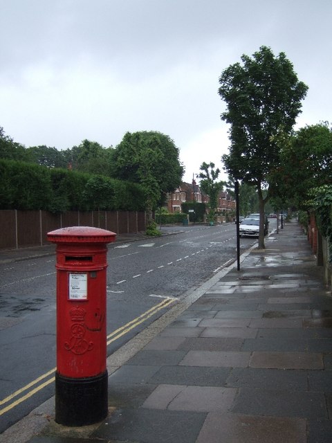
Image: © David Smith Taken: 16 Jun 2011
The pillarbox is dated Edward VII. The area was developed for housing at the end of the 19th century, so the postal infrastructure dates from that period
Images are licensed for reuse under creativecommons.org/licenses/by-sa/2.0
Image Location
Latitude
51.50814
Longitude
-0.312924