Road junction and narrow street in Brimington
Introduction
The photograph on this page of Road junction and narrow street in Brimington by Andrew Hill as part of the Geograph project.
The Geograph project started in 2005 with the aim of publishing, organising and preserving representative images for every square kilometre of Great Britain, Ireland and the Isle of Man.

There are currently over 7.5m images from over 14,400 individuals and you can help contribute to the project by visiting https://www.geograph.org.uk
Road junction and narrow street in Brimington
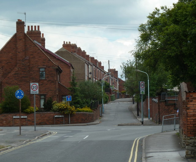
Image: © Andrew Hill Taken: 20 Jun 2011
The B6050 turns right, while the houses ahead are on Foljambe Road which is a no through route for vehicles. Brimington is a civil parish within the borough of Chesterfield.
Images are licensed for reuse under creativecommons.org/licenses/by-sa/2.0
Image Location
Latitude
53.257707
Longitude
-1.398417