Mudeford: six beach huts and a windbreak
Introduction
The photograph on this page of Mudeford: six beach huts and a windbreak by Chris Downer as part of the Geograph project.
The Geograph project started in 2005 with the aim of publishing, organising and preserving representative images for every square kilometre of Great Britain, Ireland and the Isle of Man.

There are currently over 7.5m images from over 14,400 individuals and you can help contribute to the project by visiting https://www.geograph.org.uk
Mudeford: six beach huts and a windbreak
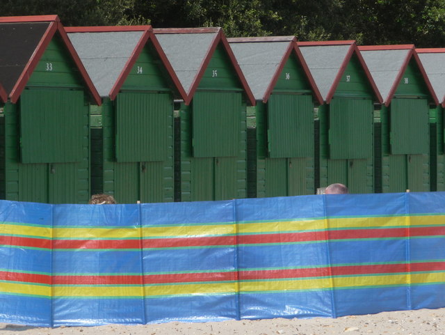
Image: © Chris Downer Taken: 18 Jun 2011
A selection of the Image, viewed above a windbreak with the tops of two heads just visible.
Images are licensed for reuse under creativecommons.org/licenses/by-sa/2.0
Image Location
Latitude
50.730642
Longitude
-1.732864