Chobham
Introduction
The photograph on this page of Chobham by Colin Smith as part of the Geograph project.
The Geograph project started in 2005 with the aim of publishing, organising and preserving representative images for every square kilometre of Great Britain, Ireland and the Isle of Man.

There are currently over 7.5m images from over 14,400 individuals and you can help contribute to the project by visiting https://www.geograph.org.uk
Chobham
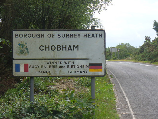
Image: © Colin Smith Taken: 19 Jun 2011
Surrey Heath does not mean much to most people. However Chobham is much more meaningful - it is a long established village, has a large common named after it, also a strong tank armourplate.
Images are licensed for reuse under creativecommons.org/licenses/by-sa/2.0
Image Location
Latitude
51.376534
Longitude
-0.595653