Countdown to 30mph on the approach to Glangrwyney, Powys
Introduction
The photograph on this page of Countdown to 30mph on the approach to Glangrwyney, Powys by Jaggery as part of the Geograph project.
The Geograph project started in 2005 with the aim of publishing, organising and preserving representative images for every square kilometre of Great Britain, Ireland and the Isle of Man.

There are currently over 7.5m images from over 14,400 individuals and you can help contribute to the project by visiting https://www.geograph.org.uk
Countdown to 30mph on the approach to Glangrwyney, Powys
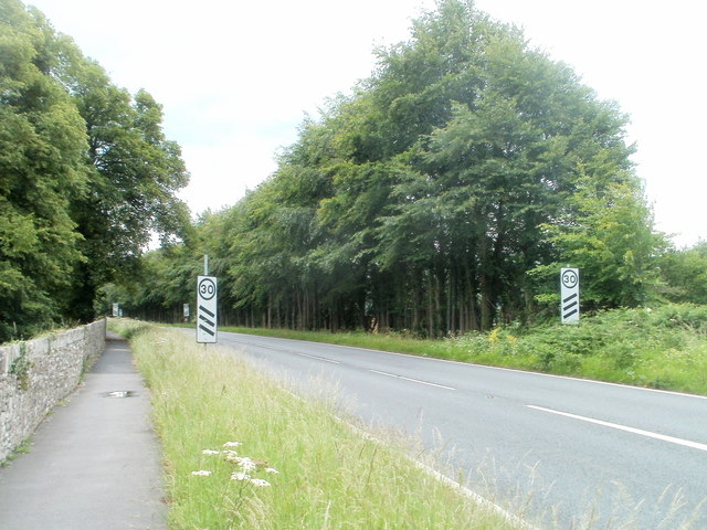
Image: © Jaggery Taken: 19 Jun 2011
The National Speed Limit still applies on the A40 as it nears the NW edge of the hamlet of Glangrwyney, but the signs are the first of three pairs giving advance advice of a 30mph speed limit ahead. Faintly visible in the background, about 100 metres behind the signs, are the second pair, each with two stripes. The 30mph zone begins at the Glangrwyney boundary. http://www.geograph.org.uk/photo/2470833
Images are licensed for reuse under creativecommons.org/licenses/by-sa/2.0
Image Location
Latitude
51.842713
Longitude
-3.114743