Racing into Crickhowell
Introduction
The photograph on this page of Racing into Crickhowell by Jaggery as part of the Geograph project.
The Geograph project started in 2005 with the aim of publishing, organising and preserving representative images for every square kilometre of Great Britain, Ireland and the Isle of Man.

There are currently over 7.5m images from over 14,400 individuals and you can help contribute to the project by visiting https://www.geograph.org.uk
Racing into Crickhowell
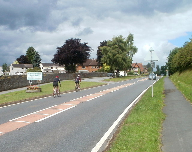
Image: © Jaggery Taken: 19 Jun 2011
Two racing cyclists on the A40 enter the SE edge of Crickhowell at speed. The boundary sign shows that Crickhowell is twinned with Scaër, a commune in the Finistère department in Brittany, NW France.
Images are licensed for reuse under creativecommons.org/licenses/by-sa/2.0
Image Location
Latitude
51.856016
Longitude
-3.133948