Clixby lane, Grasby
Introduction
The photograph on this page of Clixby lane, Grasby by Jonathan Thacker as part of the Geograph project.
The Geograph project started in 2005 with the aim of publishing, organising and preserving representative images for every square kilometre of Great Britain, Ireland and the Isle of Man.

There are currently over 7.5m images from over 14,400 individuals and you can help contribute to the project by visiting https://www.geograph.org.uk
Clixby lane, Grasby
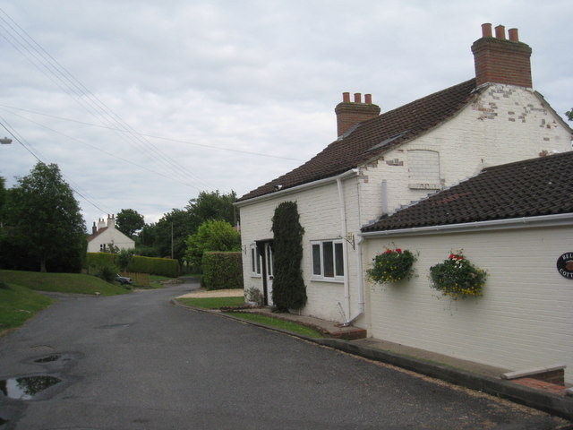
Image: © Jonathan Thacker Taken: 19 Jun 2011
Leads towards Clixby but doesn't quite make it as it turns into a public footpath (part of the Viking Way) at the edge of the village.
Images are licensed for reuse under creativecommons.org/licenses/by-sa/2.0
Image Location
Latitude
53.528945
Longitude
-0.358756