War Memorial Health Centre, Crickhowell
Introduction
The photograph on this page of War Memorial Health Centre, Crickhowell by Jaggery as part of the Geograph project.
The Geograph project started in 2005 with the aim of publishing, organising and preserving representative images for every square kilometre of Great Britain, Ireland and the Isle of Man.

There are currently over 7.5m images from over 14,400 individuals and you can help contribute to the project by visiting https://www.geograph.org.uk
War Memorial Health Centre, Crickhowell
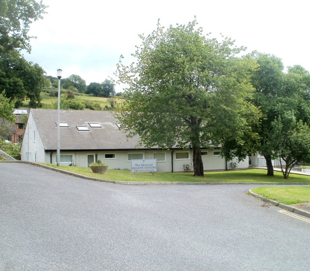
Image: © Jaggery Taken: 19 Jun 2011
Set back from Beaufort Street (A40), a few tens of metres from the War Memorial. http://www.geograph.org.uk/photo/2469372 The site was formerly occupied by Crickhowell War Memorial Hospital.
Images are licensed for reuse under creativecommons.org/licenses/by-sa/2.0
Image Location
Latitude
51.856915
Longitude
-3.133971