Newport : track from Bettws to Ty'n-y-pwll Farm
Introduction
The photograph on this page of Newport : track from Bettws to Ty'n-y-pwll Farm by Jaggery as part of the Geograph project.
The Geograph project started in 2005 with the aim of publishing, organising and preserving representative images for every square kilometre of Great Britain, Ireland and the Isle of Man.

There are currently over 7.5m images from over 14,400 individuals and you can help contribute to the project by visiting https://www.geograph.org.uk
Newport : track from Bettws to Ty'n-y-pwll Farm
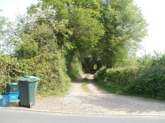
Image: © Jaggery Taken: 4 May 2011
Viewed across Leach Road, which is at the northern edge of the Bettws housing estate. Northwards for about three kilometres, the land is used for farming (chiefly grazing land). The farmland ends at the southern edge of residential Cwmbran.
Images are licensed for reuse under creativecommons.org/licenses/by-sa/2.0
Image Location
Latitude
51.615067
Longitude
-3.034052