Waddon Barn
Introduction
The photograph on this page of Waddon Barn by Nigel Mykura as part of the Geograph project.
The Geograph project started in 2005 with the aim of publishing, organising and preserving representative images for every square kilometre of Great Britain, Ireland and the Isle of Man.

There are currently over 7.5m images from over 14,400 individuals and you can help contribute to the project by visiting https://www.geograph.org.uk
Waddon Barn
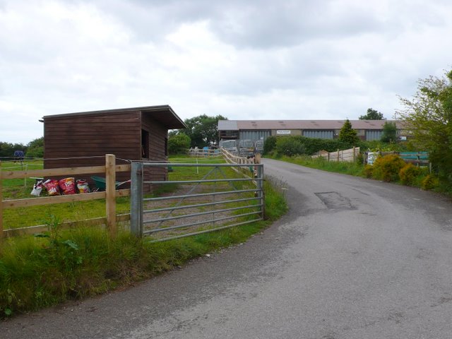
Image: © Nigel Mykura Taken: 18 Jun 2011
Waddon Barn was originally a farm and there is still a farm on the site but there is also a large depot of a scaffolding company (which can be seen in the distance) and some horse paddocks such as those on the left.
Images are licensed for reuse under creativecommons.org/licenses/by-sa/2.0
Image Location
Latitude
50.747735
Longitude
-2.770454