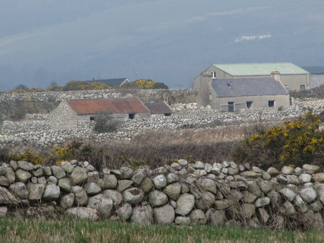
Derelict farmstead at Longstone
Introduction
The photograph on this page of Derelict farmstead at Longstone by Eric Jones as part of the Geograph project.
The Geograph project started in 2005 with the aim of publishing, organising and preserving representative images for every square kilometre of Great Britain, Ireland and the Isle of Man.
There are currently over 7.5m images from over 14,400 individuals and you can help contribute to the project by visiting https://www.geograph.org.uk

Image: © Eric Jones Taken: 16 Mar 2011
These buildings are now used as farm buildings. In the past Longstone was a farming/fishing community. The men of the hamlet were long line fishermen. Prof. Estyn Evans wrote of them "The Longstone men - from the Long Stone district in Moneydorragh More - are still spoken of with awe. If the winds were unfavourable they might have to toil at their oars all day, a day which began at two or three o'clock in the morning, and perhaps pull home to Wreck Port from grounds near the Isle of Man." (Mourne Country pp160) Image

