The M1, Belfast (2)
Introduction
The photograph on this page of The M1, Belfast (2) by Albert Bridge as part of the Geograph project.
The Geograph project started in 2005 with the aim of publishing, organising and preserving representative images for every square kilometre of Great Britain, Ireland and the Isle of Man.

There are currently over 7.5m images from over 14,400 individuals and you can help contribute to the project by visiting https://www.geograph.org.uk
The M1, Belfast (2)
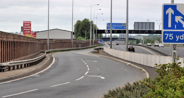
Image: © Albert Bridge Taken: 19 Jun 2011
The view along what is now the south/westbound on-slip. Before the rebuilding of the Westlink Image and the construction of the Broadway underpass Image this was the start of the M1. It now starts a short distance to the north east Image
Images are licensed for reuse under creativecommons.org/licenses/by-sa/2.0
Image Location
Latitude
54.586432
Longitude
-5.960793