The eastern end of Longstone Road
Introduction
The photograph on this page of The eastern end of Longstone Road by Eric Jones as part of the Geograph project.
The Geograph project started in 2005 with the aim of publishing, organising and preserving representative images for every square kilometre of Great Britain, Ireland and the Isle of Man.

There are currently over 7.5m images from over 14,400 individuals and you can help contribute to the project by visiting https://www.geograph.org.uk
The eastern end of Longstone Road
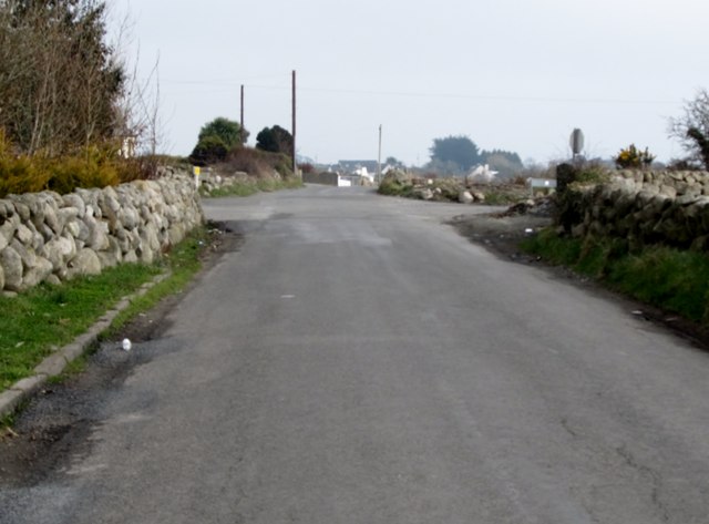
Image: © Eric Jones Taken: 16 Mar 2011
Longstone Road ends at a crossroads. The continuation eastwards is known as Major's Hill. The two other roads forming the crossroads are, on the left, Oldtown Road and, on the right, Moneydarragh Road.
Images are licensed for reuse under creativecommons.org/licenses/by-sa/2.0
Image Location
Latitude
54.112482
Longitude
-5.920211