Footpath behind the sea wall
Introduction
The photograph on this page of Footpath behind the sea wall by Jonathan Thacker as part of the Geograph project.
The Geograph project started in 2005 with the aim of publishing, organising and preserving representative images for every square kilometre of Great Britain, Ireland and the Isle of Man.

There are currently over 7.5m images from over 14,400 individuals and you can help contribute to the project by visiting https://www.geograph.org.uk
Footpath behind the sea wall
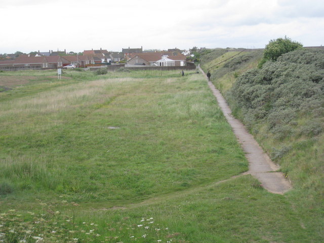
Image: © Jonathan Thacker Taken: 17 Jun 2011
The height of the sea wall shows how potentially vulnerable Sutton on Sea and Sandilands are to flooding.
Images are licensed for reuse under creativecommons.org/licenses/by-sa/2.0
Image Location


Leaflet Map data © OpenStreetMap
Latitude
53.305498
Longitude
0.288558