Chapel Lane
Introduction
The photograph on this page of Chapel Lane by Michael Dibb as part of the Geograph project.
The Geograph project started in 2005 with the aim of publishing, organising and preserving representative images for every square kilometre of Great Britain, Ireland and the Isle of Man.

There are currently over 7.5m images from over 14,400 individuals and you can help contribute to the project by visiting https://www.geograph.org.uk
Chapel Lane
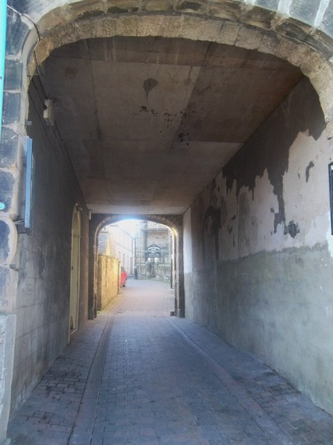
Image: © Michael Dibb Taken: 22 May 2011
Seen from Market Street is the passage way to Chapel Lane. The Methodist Chapel can be glimpsed.
Images are licensed for reuse under creativecommons.org/licenses/by-sa/2.0
Image Location
Latitude
55.412467
Longitude
-1.708402