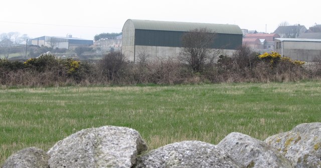
Farm buildings at the clachan/close at Turloughs Hill
Introduction
The photograph on this page of Farm buildings at the clachan/close at Turloughs Hill by Eric Jones as part of the Geograph project.
The Geograph project started in 2005 with the aim of publishing, organising and preserving representative images for every square kilometre of Great Britain, Ireland and the Isle of Man.
There are currently over 7.5m images from over 14,400 individuals and you can help contribute to the project by visiting https://www.geograph.org.uk

Image: © Eric Jones Taken: 16 Mar 2011
There are currently at least five farmhouses and associated buildings,as well as other houses grouped within the close or clachan. The pattern evolved during the Plantation period when Scottish planters were open to raids both by the dispossessed and by bandits. With "their fields" as Estyn Evans ("Mourne Country" p122) has it "scattered 'through-other'" these clachans are "like fossils from a vanished age".

