Farm buildings at Turloughs Hill
Introduction
The photograph on this page of Farm buildings at Turloughs Hill by Eric Jones as part of the Geograph project.
The Geograph project started in 2005 with the aim of publishing, organising and preserving representative images for every square kilometre of Great Britain, Ireland and the Isle of Man.

There are currently over 7.5m images from over 14,400 individuals and you can help contribute to the project by visiting https://www.geograph.org.uk
Farm buildings at Turloughs Hill
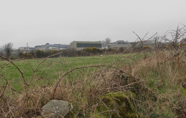
Image: © Eric Jones Taken: 16 Mar 2011
Turloughs Hill, an Anglicisation of the Irish Cnoc Toirealach, is a close containing a number of farm houses and farm buildings as well as non-agricultural housing.
Images are licensed for reuse under creativecommons.org/licenses/by-sa/2.0
Image Location
Latitude
54.105109
Longitude
-5.919968