Rooftops, near Clapham Junction
Introduction
The photograph on this page of Rooftops, near Clapham Junction by Christopher Hilton as part of the Geograph project.
The Geograph project started in 2005 with the aim of publishing, organising and preserving representative images for every square kilometre of Great Britain, Ireland and the Isle of Man.

There are currently over 7.5m images from over 14,400 individuals and you can help contribute to the project by visiting https://www.geograph.org.uk
Rooftops, near Clapham Junction
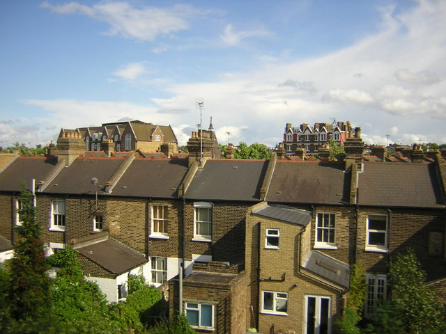
Image: © Christopher Hilton Taken: 18 Jun 2011
The area seen here was developed as cheap affordable housing for the working population by the estate of Lord Shaftesbury: the school is Shaftesbury Park School and the tenements beyond it are now a site known as The Shaftesbury.
Images are licensed for reuse under creativecommons.org/licenses/by-sa/2.0
Image Location
Latitude
51.468569
Longitude
-0.157304